Community Corner
New Database Unifies Data to Support Marcellus Shale Research
The database was released by the Center of Biodiversity and Ecosystems of Carnegie Museum of Natural History.

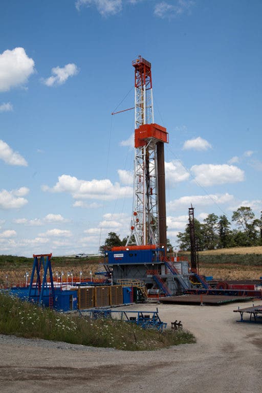
The Center for Biodiversity and Ecosystems at Carnegie Museum of Natural History has created a comprehensive new Geographic Information Systems— known as GIS—based database that is a one-stop-shop for information about Marcellus Shale-related natural gas development throughout Pennsylvania.
The ground-breaking new database was created in direct response to a need voiced by local governments, environmental and economic researchers, and urban planners looking for a single tool to link isolated datasets from Pennsylvania’s Department of Environmental Protection.
It is one of the first unified datasets to compare essential data about natural-gas well activity in the state, and could serve as a critical resource in future studies pertaining to natural gas development and its possible effects on a seemingly endless number of study areas, including: water quality, air quality, the local economy, public health, social factors, and more.
Find out what's happening in Canon-Mcmillanwith free, real-time updates from Patch.
“These data provide a powerful new tool for our researchers, other scientists, and eventually the public to see where development is happening and then to assess and minimize impact on roadways, wildlife, and people,” said John Wenzel, director of the center. “Each company only has good records of its own activities, so even the industry itself doesn’t have accurate records of the total scope of development. We provide that.”
Using the resources of the Center for Biodiversity and Ecosystem’s GIS laboratory—based at Powdermill Nature Reserve, the environmental research center of Carnegie Museum of Natural History in the heart of the Laurel Highlands—the database brings together information from six separate natural gas development datasets all currently available on the DEP’s website.
Find out what's happening in Canon-Mcmillanwith free, real-time updates from Patch.
James Whitacre, the center’s GIS manager, created the new database tool by converting all of the DEP information for each particular well into a GIS format—such as new and existing permits, drilling, natural gas production information, waste production, and violations—generating a holistic representation of activity in any given region.
Because the new tool ties all of the existing information to specific geographic locations, the dataset is ideal for targeted analyses such as verification by municipalities of Act 13-reportable wells or tracking longterm impacts on the local and regional habitats surrounding development areas.
Whitacre explained: “Our hope is that this dataset will start a more productive conversation between non-industry professionals and the DEP to help rectify the data issues and inconsistencies we have found through our analyses. Research is only as good as the data used in the analysis.”
“Our database is already being used in research projects developed by the Western Pennsylvania Conservancy, the Nature Conservancy, Indiana University of Pennsylvania, Duke University, and Pennsylvania State University,” Wenzel said. “Our own Center is also using it to determine where to place water-monitoring sites and stations in the region, part of an initiative to monitor the quality of the area’s streams by monitoring the health of aquatic life, particularly insects and other macroinvertebrates.”
Future plans for the dataset include a user-friendly interface via a public website. While the dataset is comprised entirely of publicly available data, it is currently formatted as an ArcGIS geodatabase file that is too cumbersome for general use.
Once launched, the new website will provide the public with the same information already provided to scientists, researchers, and industry professionals, but in an easy-to-use interactive map format.
It is anticipated that the launch of this site will occur by the end of 2012.
“When everyone uses the same reliable data for their research,” Wenzel said, “all parties can sit at the same table and have an informed discussion about issues surrounding natural gas development. Everyone benefits from having good records that are accessible.”
Get more local news delivered straight to your inbox. Sign up for free Patch newsletters and alerts.